Friday, March 27, 2015

Oklahooooomaaaa ohnooo

Well we left the loveliness of Arkansas with its hills, valleys, forests and streams to find a very flat mostly barren landscape. While there were green fields, there were few, often no trees. There were no hills to hold up the sky. While "green acres is the place to be" no, not for me. Too much very open landscape that gave us both the feeling of being an exposed rabbit in a barren field. We decided the best way to see this state would be by air. This part of the trip has been quite difficult. There is vast nothingness. The sun is torturous even though it is cool.
That is not to say the state doesn't have it's own beauty. If flat land with no trees appeals to you, this is for you - but beware to fill up with gas since stations are few and far between.
 See that tree? That was one of the last ones we ever saw...below is how it looked when we left Arkansas. Note the tent to provide some shade - this really is a must have all you campers.
 We chose to travel the northern most end across in order to reach Colorado. In order to do this, we camped the first night in Osage State Park near Bartlesville to the north of Tulsa. Saw this below coming through Tulsa - there was a nasty storm and we found out in the morning we had very narrowly missed a Tornado. A tornado warning was in affect when we set down. We were nervous but had no choice but to stop for the night. It was a nice park but when we arrived we were the only campers in the park.
 Sometime during the storm another camper joined us but was far from us. The park ranger was helpful and kind - if you must be in Oklahoma, I recommend this park highly. It does have some trees, has great hot showers and is very clean. It has good walking paths as well.

It was cold and wet and there really was nothing to see or do save drive and look so we packed up and left for Great Salt Plains State Park near Jet....which is near...nothing. Thousands and thousands of acres of cows and grass and grass and more grass and cows and fence and more fence...you get the picture. Nothing to really take pictures of. Once arrived in the park area, it was a mystery how to acquire a campsite. Once we finally found the office, we were essentially alone in the park - again. This is where we both became a little spooked. If it was because of the barren nature of the land or something else, we locked ourselves in the camper and locked the truck. There was just something odd about the area neither of us could put our finger on but it spooked us both and neither of us actually slept well. We arrived early so we could get some pictures of the salt flat and some of the scenery. We were glad we saw this, but I would not drive here again. This area is half the salinity that is in the sea. In this area there are many selenite crystals and the general public can go out on the salt flat and dig for those starting April 1. Although I surely love rocks, selenite is not one that I want to go dig for. It is what the early settlers used for window pane glass in their homes. I picked some of it off the road - that was enough for me. The salt flat is an oddity and is full of lovely wood ducks and other birds. The Wildlife Refuge is adjacent to the park and we were very happy we got to see this - if you must do this trip, it is a must see.


We went back out looking around and saw wind farms along with the grass being burned so the new could grow.


Below is the big town of Jet.If you were thinking Pizza Hut...no. We saw a sign for a store selling beer and bait. A man driving an oil rig told us the store had been closed for 15 years but the sign was still there. We found that to be the rule across the state. Things were abandoned, closed with the sign remaining but if you wanted something to eat - no such luck. It was a good thing I had a fully stocked kitchen in that camper!
The Wildlife Refuge was a nice distraction and allowed dogs. The walking trail easy but the trail had no map anywhere. There were many markers on the trail of what trees were and grasses but no marker as to where you were or where the trail went - we could have done with a 'out is this way' marker. We had to completely back track the trail to get back to the truck. It is a very nice trail though and has this little wilderness area for teaching.

Of course we were again the only ones in the park. It was a nice day with highs in the high 60s,
We went back to the park and took another walk with the dog. On the way back we saw a pack of three dogs cross the road over to the cow pasture to put their paws up on the watering hole and drink. Later we found out those were bad dogs that had been running feral and were being looked for.

We saw a rabbit and several armadillos - I had never seen one in  the wild and the dog had never seen one...until now. The chase was on but not for far or for long. I like creatures that eat bugs.


This was the last picture I took in the park. We reserved it for 2 nights and stayed only one. We were just too spooked to stay another. We saw several deer in the middle of the night that were within 100 yards of the camper. If you go, stay here - it is a good park, just an odd park. I think if it were full of people it would not be as spooky.
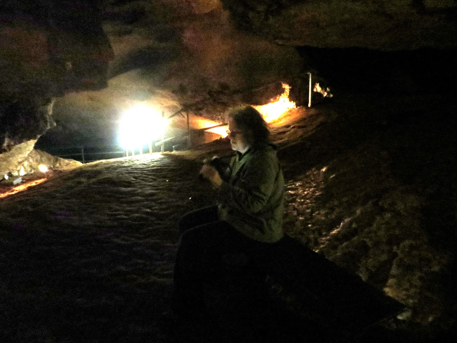
We left that morning hoping to get to Black Mesa State Park - it has the highest point in the state. We were hoping this would be higher ground that would not spook us simple mountain folk :). We wanted to stop at Alabaster Caverns and we did - please google it as it can tell you all the information you want to know. It is another state park area and the caverns is more than worth seeing. It is selenite not limestone. It is not a dripping cave so it can be touched. Many kinds of bats make their home in this cave. I suppose very technically it is a cavern not a cave but either way it is a very nice thing to see. No stalactites or stalagmites just a big collections of selenite. It is shiny and enjoyable to look at. If you are going to be in the area, stop and have a look.


 Buddy took a couple pics of me...we were once again the only people present...is this sounding repetitive?


We continued on towards our final destination. We never got there as of today. After miles and miles of flat followed by flat followed by flat, we got a room. We were tired. We will make Black Mesa tomorrow hopefully or perhaps roll on into Colorado but for tonight we sleep in a big bed. Soon we will be out of the way of tornado alley!


Seeing Union Pacific made me smile. This plant above is hard beside the railroad with ADM cars sitting beside it. This is a hard drive across a vastly empty state but there were things with seeing. If you can look past the vast acres of cows, grass and oil rigs, it can be...OK. As an aside, there is no good cellphone service. Buddy has Verizon and it was spotty. I had tracfone and coverage was non existent. I stress again to any traveler that wifi is not common on the road. If you get it - great. Chances have been so far there is no wifi. We have had to create a hot spot often and then rely on the data plan to cover the amount used. Be sure to update your plan as necessary before heading out and ask about area coverage. Bedtime, I am off! We hope to end the Oklahoma crossing tomorrow to head into Colorado! Stay safe friends. From the big town of Guymon, we are thankful to have another safe day! 

Tuesday, March 24, 2015

Arkansas

Leaving Land Between the Lakes we came across the Mississippi river into Arkansas. Coming into Maumelle campground near Little Rock Arkansas, we were greeted with a wonderful view of the lake there. This is a lovely campground, clean, well kept, excellent showers and bathrooms situated on the water. Facebook has many groups for RV folks and this park had been highly recommended – they were right on and a big thank you goes out to them! We stayed but one night on the way to Hot Springs. Once again we were the smallest RV in the park parked along side big rigs. $13 night. Please enjoy the pictures of Maumelle campground near Little Rock. This is in the Maumelle state park there.


Arriving in Hot Springs, the smallest National Park, we sought a campground and found it in Catherine Landing. This is a park not suited for children. We pick parks not suited for children on purpose. We do not need jungle gyms, playgrounds or teeter totters. We need a good bathhouse and quiet. This is a nice RV place for that – except when we arrived there were ill behaved children. It is not that I do not like kids – I do not like ill behaved noisy ones. Once I discussed this loudly enough with my spouse such that the unruly family could hear it, they were better behaved. I just do not understand what would possess someone to bring their children to a park not suited for children – it is unfair to the kids and unfair to the park guests. There are parks geared to and meant for children – this is not so geared. It is riverfront, small, and nice. It has Wifi, cable television hook up and complete water and sewer hookup. It was $35 a night with Good Sam discount. Enjoy a few of the park and the RVs there. Some RVs are so big they must be pulled by a semi. Wow.


Please enjoy these pictures of Hot Springs. The Springs come out of the ground at 145 degrees – little to hot to take a bath in without it cooling. There is a place to stick your feet in if you so choose – otherwise it is completely commercial and the Springs themselves have been covered over and impounded, you cannot see them, you can see only the steam from them in places. The official word on what makes them hot is “we don't know” Really? It seems a no brainer to me. Pick one – volcanic or radioactive – once flowing it posses little threat to the citizens but no one wants to be the one who alarms anyone. The Hot Springs activity (whatever it may be) also accounts for the quartz crystals in the area – do not go to Coleman Rocks as this is a tourist trap and the place wants double or more what a quartz cluster is worth and the “mine” is quite possibly bogus salted with rocks and crystals from out of the country. I hate places like that. It takes all of 10 minutes to see Hot Springs National Park. There is a busy downtown part and lots of dining that looks great - as for us, it is eating back at camp with Dog!


Taking scenic route 7 out of the park north, there is a lovely canyon to explore or just to look upon.


We found Arkansas to be very much like Virginia and if you dropped me most anywhere in Arkansas and said where are you, I could not differentiate between the two. There are places in Arkansas that are identical to Virginia in every way. The people keep their property tidy, are seemingly well educated, there is no road trash a plus is there are trailheads everywhere and I did not see issues with obesity we have in Virginia. Nice state. There are blue laws such that no alcohol is sold on Sunday – other than that, the land looks much the same. It is not until one comes to the canyon things look a bit different and one says – oh yes, I am not in Virginia anymore. Please enjoy these pictures of scenic Route 7 between Hot Springs and Marble Falls (now a ghost town and quite odd).


Buffalo River National River - lovely.


It was a long day – about 10 hours. We hit up Petit Jean State Park on the way back and saw a few things, hiked a few miles. We were both sore from riding so much but we wanted to fit it all in so we could leave sooner. We are ahead of most campers and want to keep it that way! This is Petit Jean. Please enjoy.


This is Marble Falls, now a ghost town. I thought this very odd as there is still a big blue mailbox outside the obviously derelict post office. There is an old abandoned defunct amusement park formally known as Dogpatch that is near here. You can google it or even look it up on Wikipedia. It is - was - an extensive park and the waterslide, lift, and water attractions are still very visible from the road but a no trespass is strictly enforced so there are no pictures - there are many online. These are of the ghost town and of the small historical marker nearby on the road marking the place where the marble was taken for the addition of marble to the Washington Monument. This pictured area consisted of the main drag through town that had a post office, businesses and a church. 


For anyone thinking of doing a roadtrip, couple personal pointers – download the goodsam app. It will tell you where all the campgrounds are not just the goodsam ones. I made the mistake of taking the advice of folks who said not to bring this or that – if you use it at home extensively, bring it. Toaster, crockpot, breadmaker – whatever it is you use at home, bring it. And, contrary to any information you may have found, wifi that is usable (bandwidth) is rare so don't count on it – up your current data plan on your phone and if need be make sure you can make a hotspot. If blogging or sharing pictures, make sure you have the ability to crop and resize the picture so that it does not take a lot of bandwidth to upload. Don't make a real plan – just go!

I leave you with a sunset of the view from Rt 7 north scenic route.

We are off to cross Oklahoma to get to Colorado. There is no good way west without crossing one of the states that has no National Park. We picked Oklahoma to cross – this will take a couple days! What's in Oklahoma? We have no idea.

Added: Forgot to mention this was in the Ozarks, the Ouachita and Boston Moutains which is in the Ozark National Forest. This includes the Ouachita and Arkansas rivers. Great places.